Red Mountain
Red Mountain is located in Manning Provincial Park. Manning Provincial Park is just a three hour drive east of Vancouver along Highway 3. This sprawling wilderness serves as the perfect transition zone between the wet coastal rain forest and the dry Okanagan valley.
Having hiked the nearby Snow Camp and Lone Goat Mountains, I took the opportunity to enjoy the vistas once again by hiking to Red Mountain. According to my Coros Pace 3, the hike was 27km with 1466 metres of elevation gain.
The Hike
The hike starts at the Strawberry Flats parking lot. From the parking lot, I followed the Skyline trail.

The Skyline trail winds its way through the forest.

The Skyline trail is well graded. It never feels steep or difficult.

After hiking along the trail, I arrived at an intersection. I took the trail toward Camp Mowich.

I emerged into the alpine. The fall colours are beautiful.

Views of the surrounding mountains and peaks...

Eventually, Red Mountain came into view in the distance.

After passing Lone Goat Mountain, I descended down toward the route to Red Mountain. Red Mountain is in the distance. The route ascends through the pines near the patch of yellow in the left corner of the photo below (blue line).

At this point in the trail, I turned to the right.

I could see the faint trail in the centre of the photo below. From this point, it is a route to Red Mountain. Along the route, there are sections of trail intermittently and some old flagging tape. The route follows a prominent ridge weaving between open meadows and small pine groves.

I ascended toward the ridge crest.
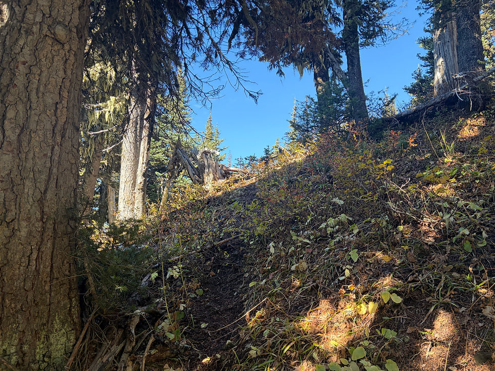
Some old flagging tape...

The route follows through the pines and meadows.

Weaving through the meadows and pines, I hiked my way toward Red Mountain.

As I hiked, I stayed near the ridge crest.

I arrived at the summit of Red Mountain.

Beautiful views...

I found it helpful looking back at the route to Red Mountain (photo below). The blue line is roughly the route along the ridge to Red Mountain. On a route like this, I enjoyed shifting from macro navigation (e.g., hand railing - keeping my location in relation to the ridge crest in mind) and micro navigation (e.g., focusing on finding the most efficient way through the terrain directly in my view). Sometimes it's nice to put away the GPS.

Final Thoughts
Red Mountain is a worthwhile destination. Unlike Snow Camp and Lone Goat Mountains, Red Mountain requires some route finding. It's an excellent opportunity to practice navigation skills (e.g., macro vs micro navigation, use of natural features like a ridge crest for hand railing).
Comments